|
40. Flamsteed
Southern part of Oceanum Procellarum. The crater pair of Billy - Hansteen
serves us as means of orientation. In-between the pair the bright massif
of Hansteen Alpha. Near the weathered remains of Flamsteed P we find the
landing site of
Surveyor 1.
BILLY
-
Jacques de Billy. (Born: March 18, 1602,
Compičgne, France - Died: January 14, 1679) French Jesuit - Astronomer and
Mathematician. Rejected the superstitious Astrological views on Comets of
his days.
 Crater.
(48Km /28Mi Ř ) (Dept: 1,210m /3,700ft) (13.8° S, 50.1° W)
Circular formation forming a pair with Hansteen. Crater.
(48Km /28Mi Ř ) (Dept: 1,210m /3,700ft) (13.8° S, 50.1° W)
Circular formation forming a pair with Hansteen.
Few steep slopes to the South-East and supporting Mons Hansteen to the
North, Billy K to the North-East, and Billy D to the South-West. Few high
walls. Very flat floor filled with dark lava and Craterlets.
FLAMSTEED -
John Flamsteed.
(1646 - 1679) English Astronomer. The First director of the Royal
Greenwich Observatory 1676. Observed Solar spots and comets. Author of a
cartographic projection system and a catalogue of 3000 stars, the first
great stellar catalogue
after Tycho Brahe's
catalogue.
Crater.
(22Km /13Mi
ř
)
(Dept: 2,160m /6,500ft) (4.5
°S, 44.3°W)
Isolated circular formation situated inside the ring of Flamsteed P. Steep
slopes, high walls, flat floor filled with lava.
HANSTEEN -
Christopher Hansteen. (26 September 1784,
Oslo. Norway - 11 April 1873, Oslo, Norway) Norwegian Astronomer and
Geophysics. Discovered the location of the magnetic north pole. Discovered
variations of the terrestrial magnetic field in 1821. Founder of the Oslo
observatory in 1833. Supervisor of works of the triangulation of Norway.
Crater.
(46Km /27Mi
Ř
) (Dept: 1,250m /3,800ft) (11.5° S, 52.0° W)
Crater With hills central hills, formation forming a pair with Billy.
Steep slopes supporting Rima Hansteen to the South-West, Hansteen A and B
to the South, and Hansteen E to the North-East. Few high walls and light
terraces, jumbled floor, Hills off center.
LETRONNE
-
Jean Antoine Letronne. ( 1787 - 1848)
French Archeologist.
Crater.
(122Km /72Mi Ř ) (10.6° S, 42.4° W) Remains of a walled plane flooded by
lava. Similar to the half circular bay of the "Ocean of Storms", Oceanus
Procellarum. Flat slopes to the North and steep slopes to the South. Walls
drown in the lava of Oceanus Procellarum to the North saddled by Winthrop
to the West and Letronne T & LA to the South. Very large flat floor
supporting Letronne B to the Southeast. Ruins of visible central mountain
at the end of Dorsa Rubey, white hill.
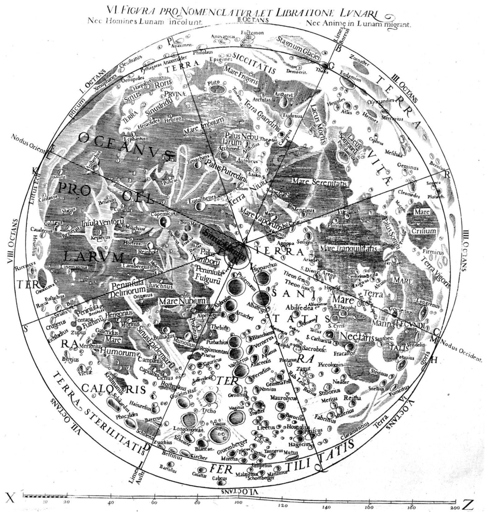
OCEANUS PROCELLARUM -
Ocean of Storms.
Named by
Riccioli (1651).
Riccioli's
Moon Map.
Ocean.
(721 x 488Km / 448 x 303Mi ) (Centre: about 0.0° N, 50.0° W) Procellarum is the
largest of the maria, stretching more than 2,500 km (1,600 Mi) across its
north-south axis and covering roughly 4,000,000 km2
(1,500,000 Mi2
). Larger lunar sea. 2,102,000 km2.
Very flat to the center. 80 m altitude difference in a 400 km diameter
circle.
Numerous ridges rilles, leftovers of walls. Ghost craters and lava flooded
craters, many small hills. The landscape of the area depicted on chart 41
is basically the same. Rays from Crater Copernicus and other ray craters.
The robotic lunar probes Luna 9, Luna 13, Surveyor 1 and Surveyor 3 landed
in Oceanus Procellarum. The manned Apollo 12 mission also landed in
Oceanus Procellarum, with astronauts Pete Conrad and Alan Bean on board.
Their landing site, within 300m of Surveyor 3, has become known as Mare
Cognitum.
|
|
 |